
The Latest Buzz
Monitor Road Conditions and Maintenance with Dynamic Map Imagery

Hivemapper’s crowdsourced map data offers fresh insights for effective road upkeep and traffic infrastructure management.
Roads are subject to constant wear and tear. They deteriorate over time, developing cracks, potholes, and other damage that impairs drivability and safety.
Maintaining local roads and highways while monitoring conditions and hazards is a persistent challenge not only for municipal governments and traffic infrastructure teams but also for state highway authorities and the consulting firms that assist them. With limited data, identifying and prioritizing roads for improvement is a complex task. Comprehensive maintenance surveys are expensive, and often constrained by tight budgets and limited personnel.
In contrast to map data sources that aren’t often updated, Hivemapper offers an innovative solution, with more than 90 million total road kilometers mapped to date. Our standardized, high-definition road imagery is captured by a crowdsourced network of drivers, delivering fresh data that enables remote auditing of road surfaces. By integrating the network’s street-level imagery and extracted map data, asphalt issues like potholes, cracks, and caving can be systematically detected and localized on a map. Up-to-date monitoring of roads and hazards becomes easier, empowering local administrators to assess and analyze road quality at scale.
With our Map Image API, map data customers can query, ingest, and analyze road images throughout the network that were captured during different times, seasons, and weather. They can also identify problem areas that are prone to rapid deterioration. Scout, a location monitoring tool powered by the Map Image API, allows them to closely track particular areas for changes and updated imagery. They can use our Map Features API to combine the above data points with an in-depth inventory of their city’s road signs and traffic lights.
Visit our product page and contact sales to learn more. To get started, generate an API key. Hivemapper’s fresh road coverage can deliver powerful benefits and efficiencies to city administrators.
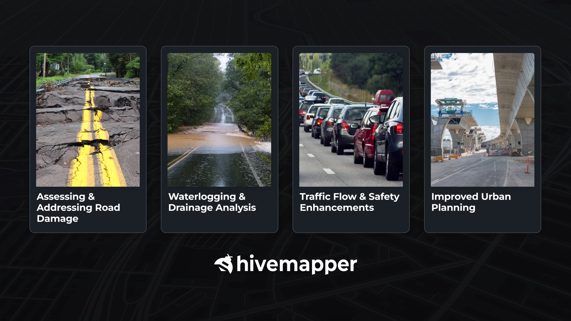
Assessing and Addressing Road Damage
Potholes, cracks, and surface damage are indicators of potential hazards. Hivemapper’s detailed imagery allows traffic infrastructure teams to distinguish between minor cracks that require monitoring and major potholes that require immediate action, optimizing maintenance resources. They can more readily prioritize repairs based on severity and traffic volume.
Location Monitoring with Scout
After identifying problematic areas, map data customers can leverage Hivemapper’s Scout tool for remote monitoring of road assets at scale to detect worsening conditions or hazards. If data on critical areas is lacking, they can use Hivemapper’s Bursts feature to set bounties for map contributors to cover targeted areas, incentivizing the collection of fresh imagery. Instead of relying on resource-intensive manual surveys to track road conditions, road authorities gain dynamic insights to enhance maintenance practices, improving safety for their citizens.
Waterlogging and Drainage Analysis
Effective drainage is crucial for urban and suburban roads, especially in areas prone to heavy rainfall. Besides disrupting traffic, waterlogging accelerates road damage. With its unmatched high refresh rate, Hivemapper offers unparalleled insights into drainage efficiency by capturing images of roads during and after various weather conditions, a capability that other road imagery sources or annual vehicle surveys cannot match. Data customers can analyze these images to identify and monitor chronic waterlogging spots, evaluate existing drainage systems, and plan improvements or new installations where necessary.
Traffic Flow and Safety Enhancements
Traffic congestion and road safety are key concerns for any high-density area. By integrating Hivemapper network data, traffic infrastructure teams can combine an analysis of road imagery with an inventory of associated street signage and traffic signals to strategize the placement of new signs, modify existing ones, and optimize traffic light sequences to enhance road safety and maintenance while reducing congestion.
Improved Urban Planning
Beyond immediate road maintenance, Hivemapper’s map data can aid long-term urban planning. By monitoring changes in road conditions over time, planners can anticipate future issues and design more resilient infrastructure. This foresight is crucial in adapting to environmental changes and urban expansion. For example, identifying areas prone to heat-induced road damage can help guide the selection of more durable materials in the future.
Hivemapper offers an indispensable tool for cities, state highway authorities, traffic infrastructure teams, and consulting firms seeking to modernize their approaches to road monitoring and maintenance. They can proactively manage and address their road infrastructure challenges by leveraging up-to-date, crowdsourced map coverage.
The versatility of Hivemapper’s map imagery and road feature data provides a model for smart city infrastructure management. Map customers that integrate the network’s data products can better respond to current road issues while strategically laying the groundwork for safer and more resilient roadways.**
Follow us on X (Twitter) and join our Discord.
Share Post


